
AERO INSIGHT · UNMANNED AVIATION

Beyond flight,new possibilities.

PURPOSE IN EVERY FLIGHT.

From a precise view that records reality
to flight that serves training needs.
AERO INSIGHT turns technology into value in the field.

EXPLORE OUR BUSINESS
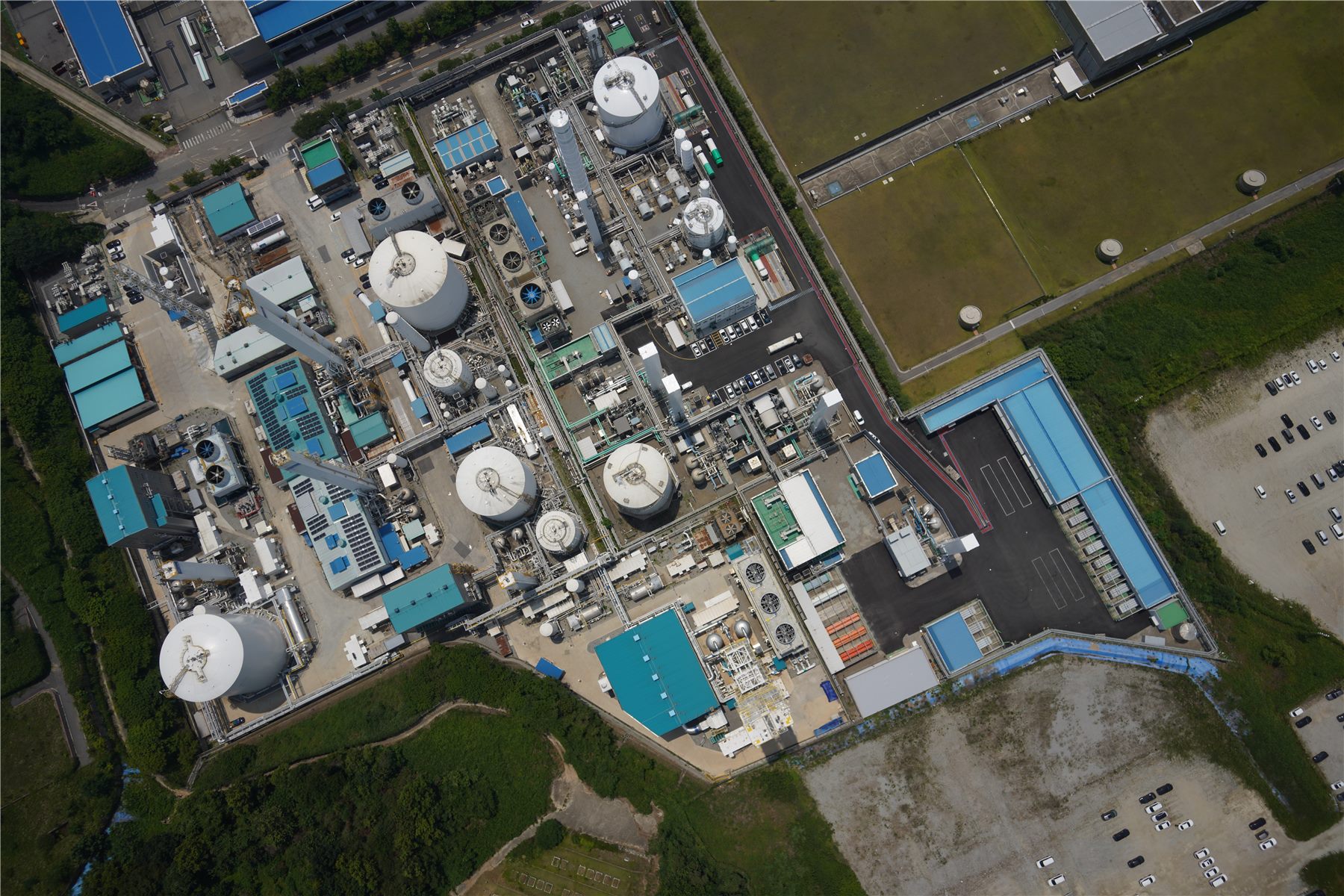
Aerial image of an industrial site captured by AERO INSIGHT
A DIFFERENT PERSPECTIVE
Technology that understands the field.
Flight that fulfills its purpose.
FROM REALITY TO POSSIBILITY
OUR BUSINESS

Technology that captures the world.
Flight that enables training.

Built on our in-house platforms THIRDEYE VTOL and THIRDEYE Target Drone,
we provide spatial data acquisition and processing services, alongside target aircraft and operational solutions tailored to training needs.

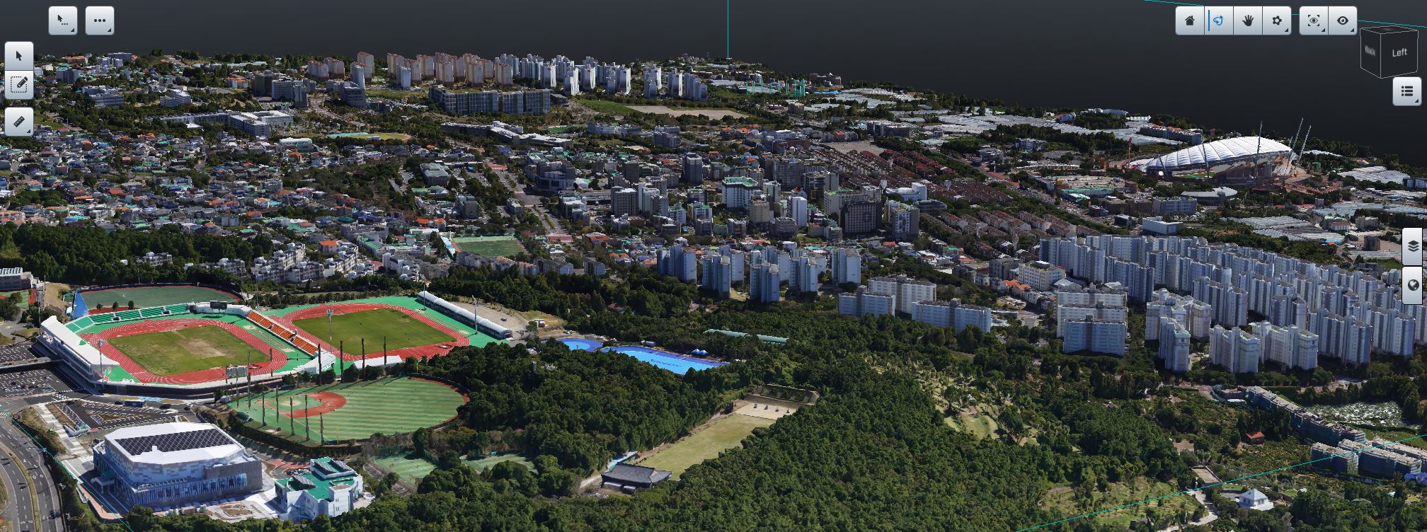
3D spatial data showing a reconstructed urban areaREAL-WORLD SPATIAL DATA
01 / SURVEYING & SPATIAL DATA

Capture reality.
Understand spatial change.

From aerial imagery to orthomosaics and 3D spatial data.
We build precise datasets across large areas,
creating a foundation for understanding change over time.
Aerial surveying3D spatial dataTime-series change analysis
Explore spatial data
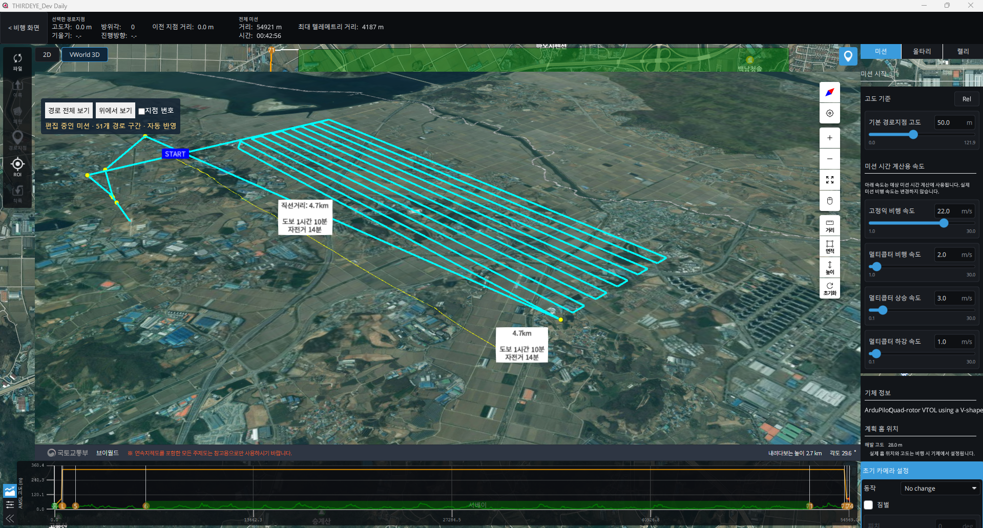
THIRDEYE flight mission planning interfaceTHIRDEYE / MISSION PLANNING
02 / AERIAL TARGET SYSTEMS

Turn training objectives
into real flight.

An unmanned aerial platform for target training.
We help identify the aircraft and operating approach
that suit your training objectives and field conditions.

Aerial Target SystemsTraining applicationsAircraft & operations
Explore target systems
ABOUT AERO INSIGHT

Technology starts
in the field.

Through unmanned aviation technology, AERO INSIGHT
expands possibilities in spatial data and aerial target systems.
We consider the aircraft, its operation and the purpose of each mission.

About our company
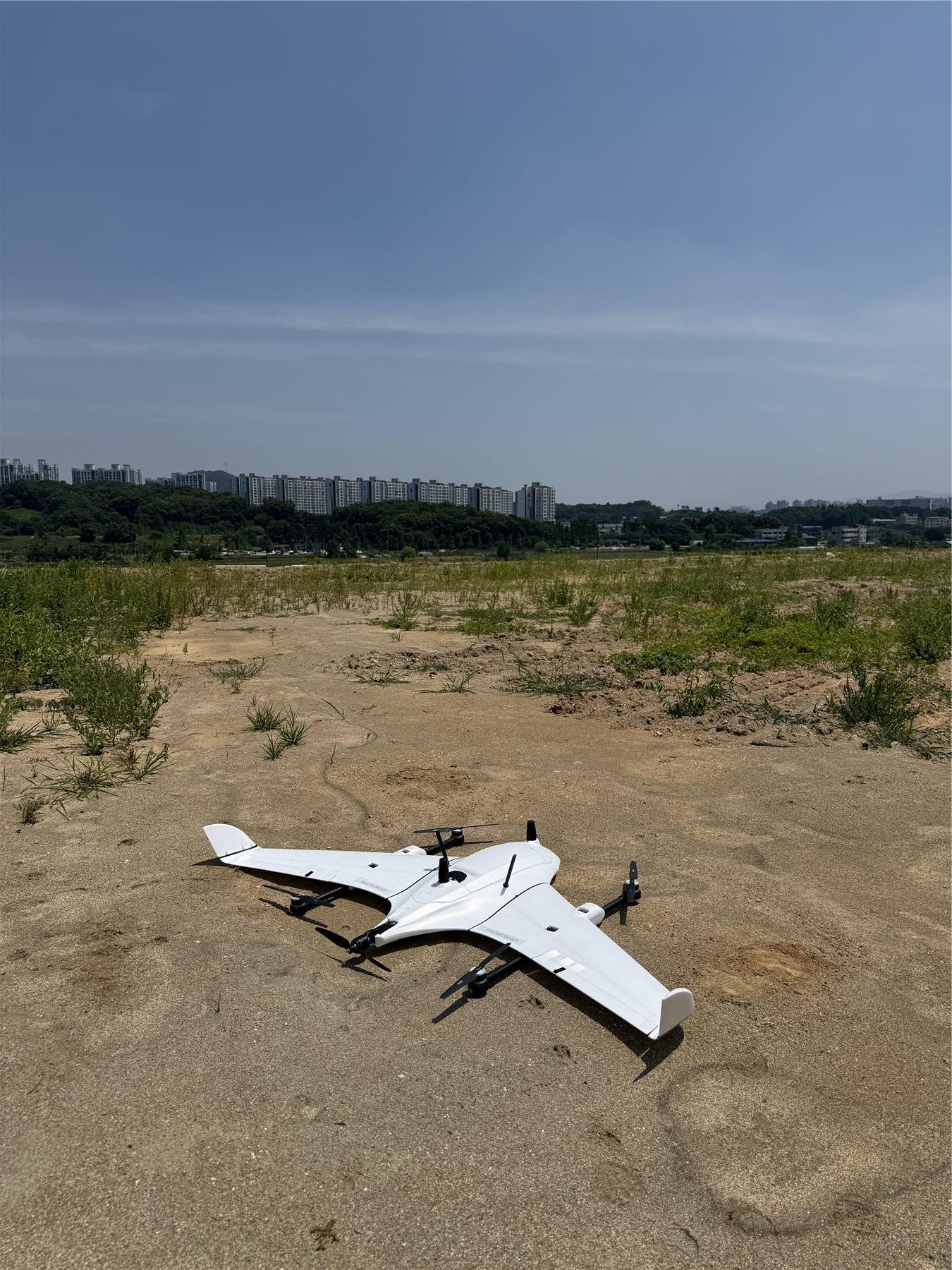
AERO INSIGHT surveying UAV prepared for field operations
Unmanned aerial platformsPLATFORM
Field-focused operationsOPERATION
Purpose-driven applicationsAPPLICATION
LET'S TALK

What does your next mission need?

Discuss a project