 REAL-WORLD SPATIAL DATA
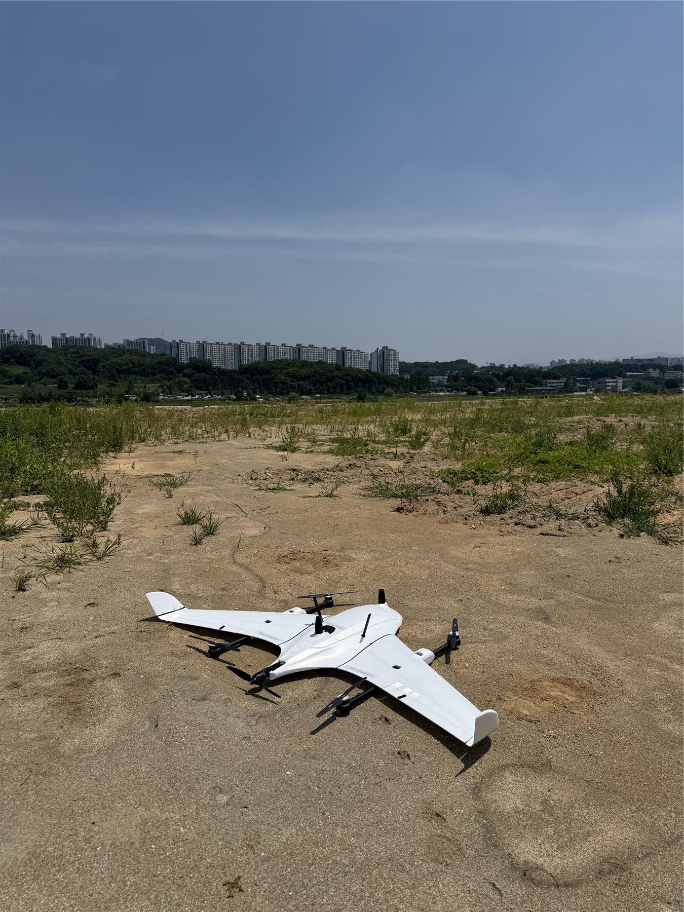
01 / SURVEYING & SPATIAL DATACapture reality.
Capture reality.
Understand spatial change.
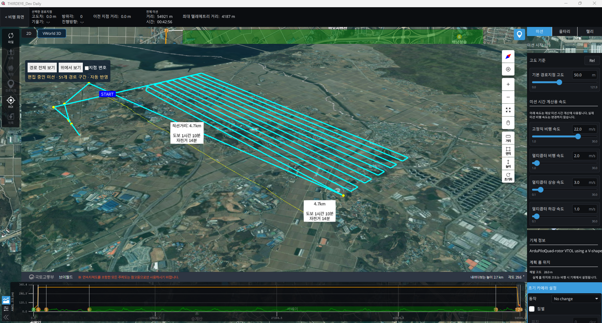
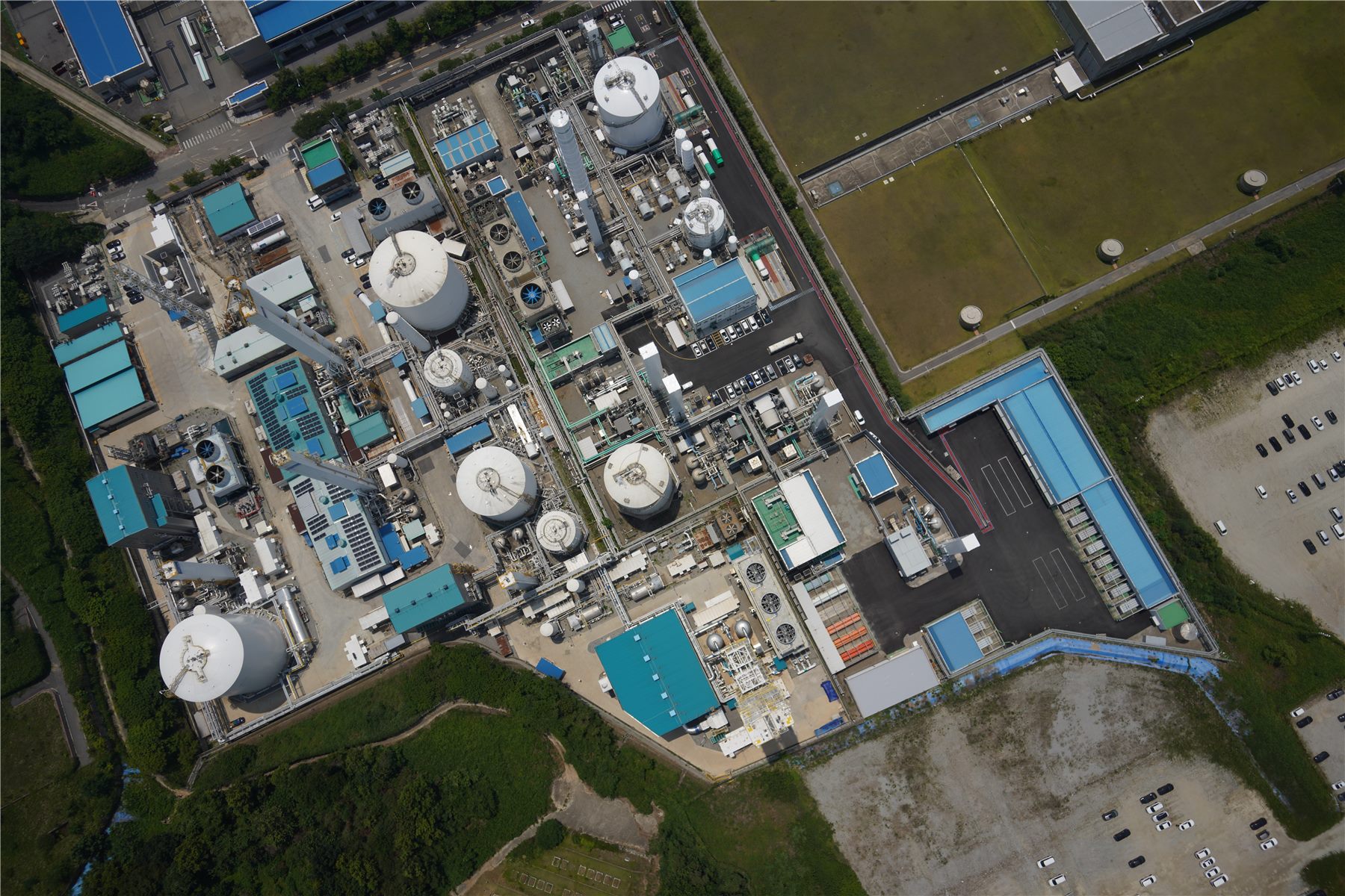
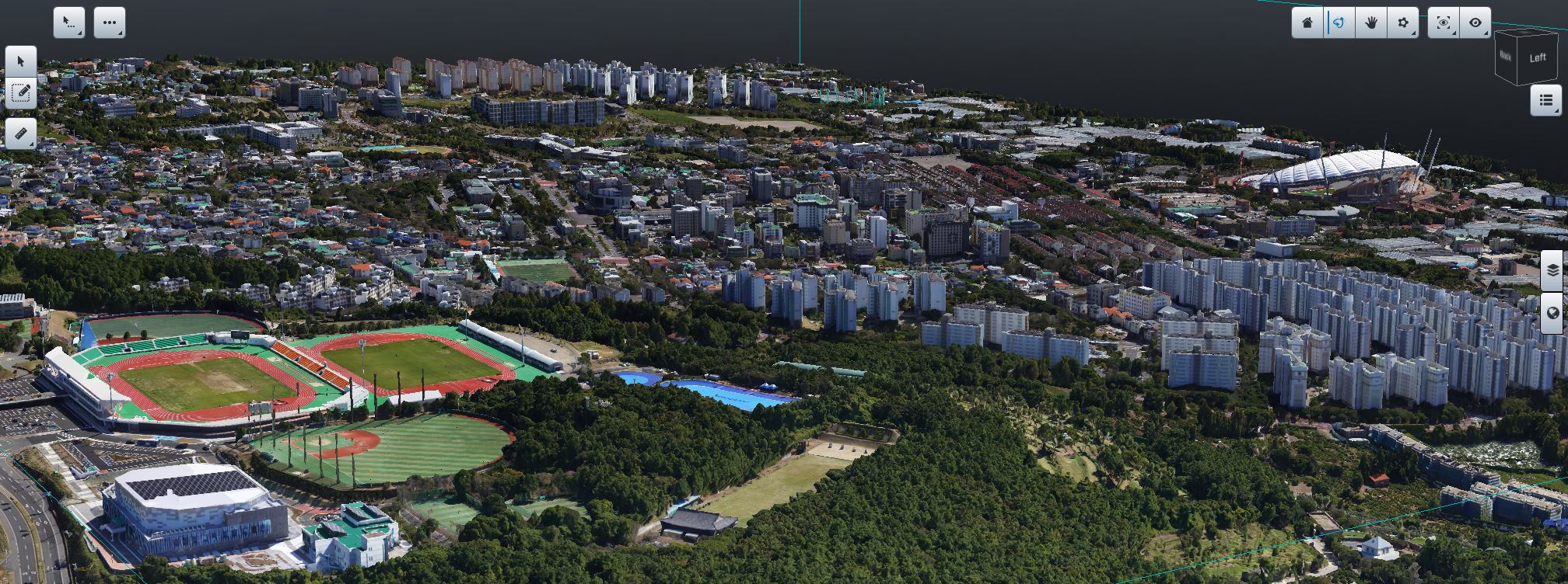
From aerial imagery to orthomosaics and 3D spatial data.
We build precise datasets across large areas,
creating a foundation for understanding change over time.