Orthomosaics
A continuous plan-view image of the surveyed area supports site understanding and spatial information applications.

WE BUILD THE REAL WORLD AS DATA.
Our in-house THIRDEYE VTOL and fixed-wing UAVs
capture spatial data for orthomosaic and 3D processing.
We deliver datasets matched to each project's needs.
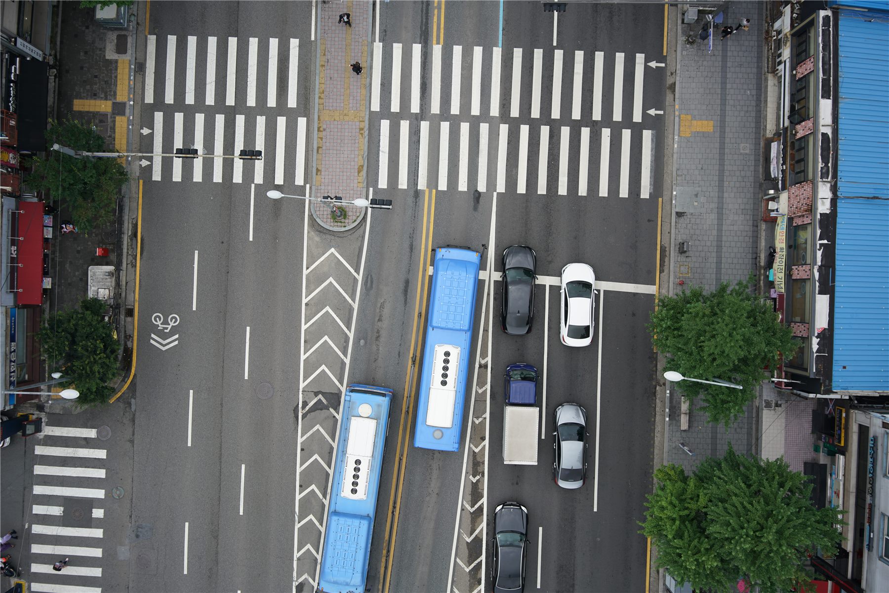
We repeatedly measure and digitize real-world spaces.
From requirements and acquisition planning to imaging, processing and delivery.
DEFINE THE PROJECT
Confirm the target area, deliverables and intended use.
PLAN ACQUISITION
Plan aerial capture around site conditions and data requirements.
CAPTURE REALITY
Capture high-resolution aerial imagery with THIRDEYE VTOL and fixed-wing UAVs.
BUILD SPATIAL DATA
Process captured imagery into orthomosaics, point clouds and 3D meshes.
DELIVER SPATIAL DATA
Organize deliverables to the agreed coordinate system, format and scope.
We connect large-area aerial imaging and spatial data production in one continuous workflow.
Beyond a single capture, we create records that can be compared over time.
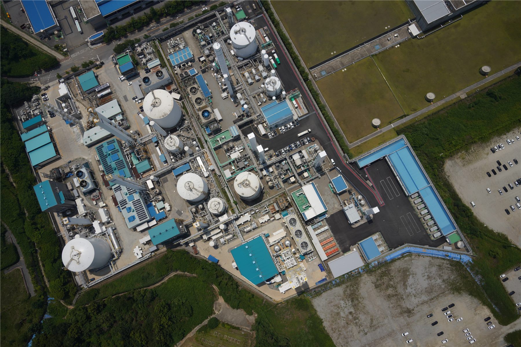 AERO INSIGHT / AERIAL DATA
We capture high-resolution aerial imagery of cities, industrial sites and infrastructure, then produce orthomosaics and 3D datasets.
Repeated acquisition of the same area creates data assets for future change comparison and analysis.
GSD varies with flight altitude, camera configuration and site conditions.
We reconstruct high-resolution aerial imagery as 3D spatial datasets.
A foundation for visualizing, measuring, comparing and analyzing reality.
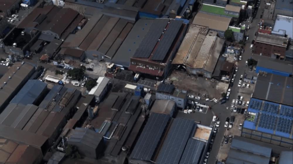 REALITY RECONSTRUCTION
Point clouds and 3D meshes derived from aerial imagery represent the form of real-world spaces.
Repeated 3D acquisition provides a basis for examining changes to facilities, industrial sites and cities.
We define the scope of deliverables around the target area and intended use.
Coordinate systems, file formats, resolution and other details are agreed for each project.
A continuous plan-view image of the surveyed area supports site understanding and spatial information applications.
Three-dimensional points represent real-world geometry for examining spatial structure.
Visualize buildings and terrain as 3D models of real-world spaces.
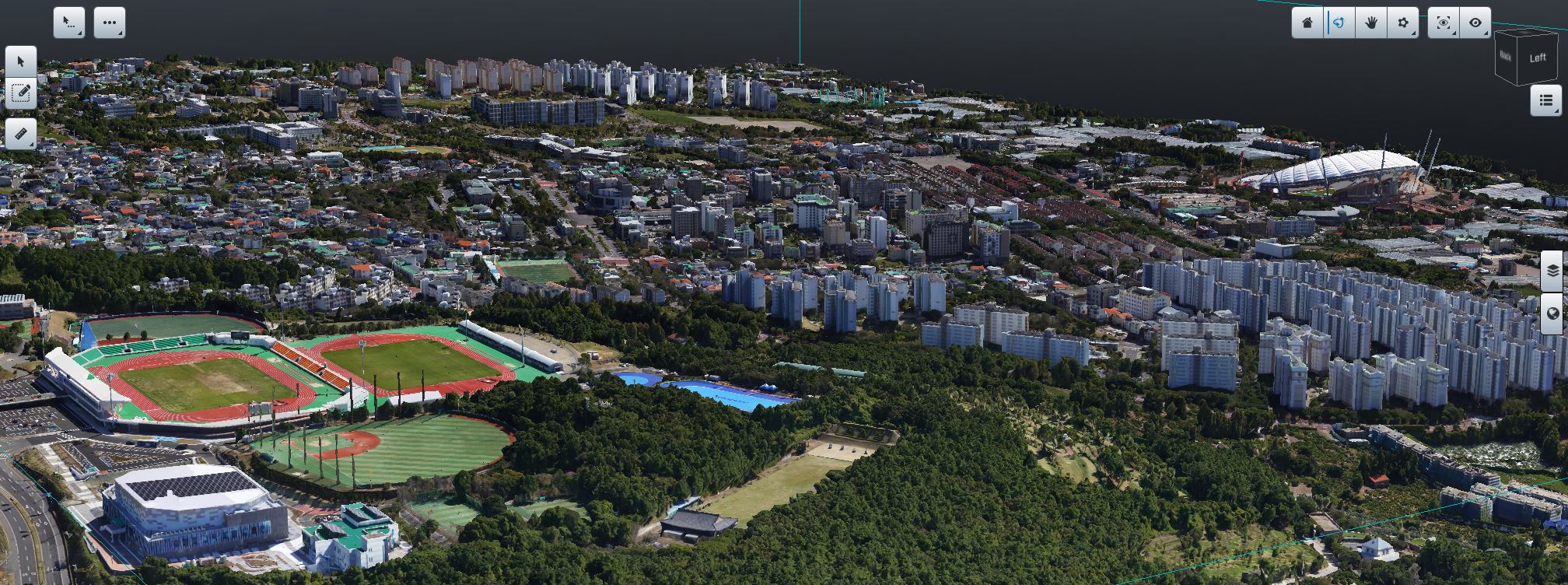 AERO INSIGHT / 3D SPATIAL DATA
A system for recording larger real-world areas accurately and efficiently.
Aircraft performance and field usability are considered together.
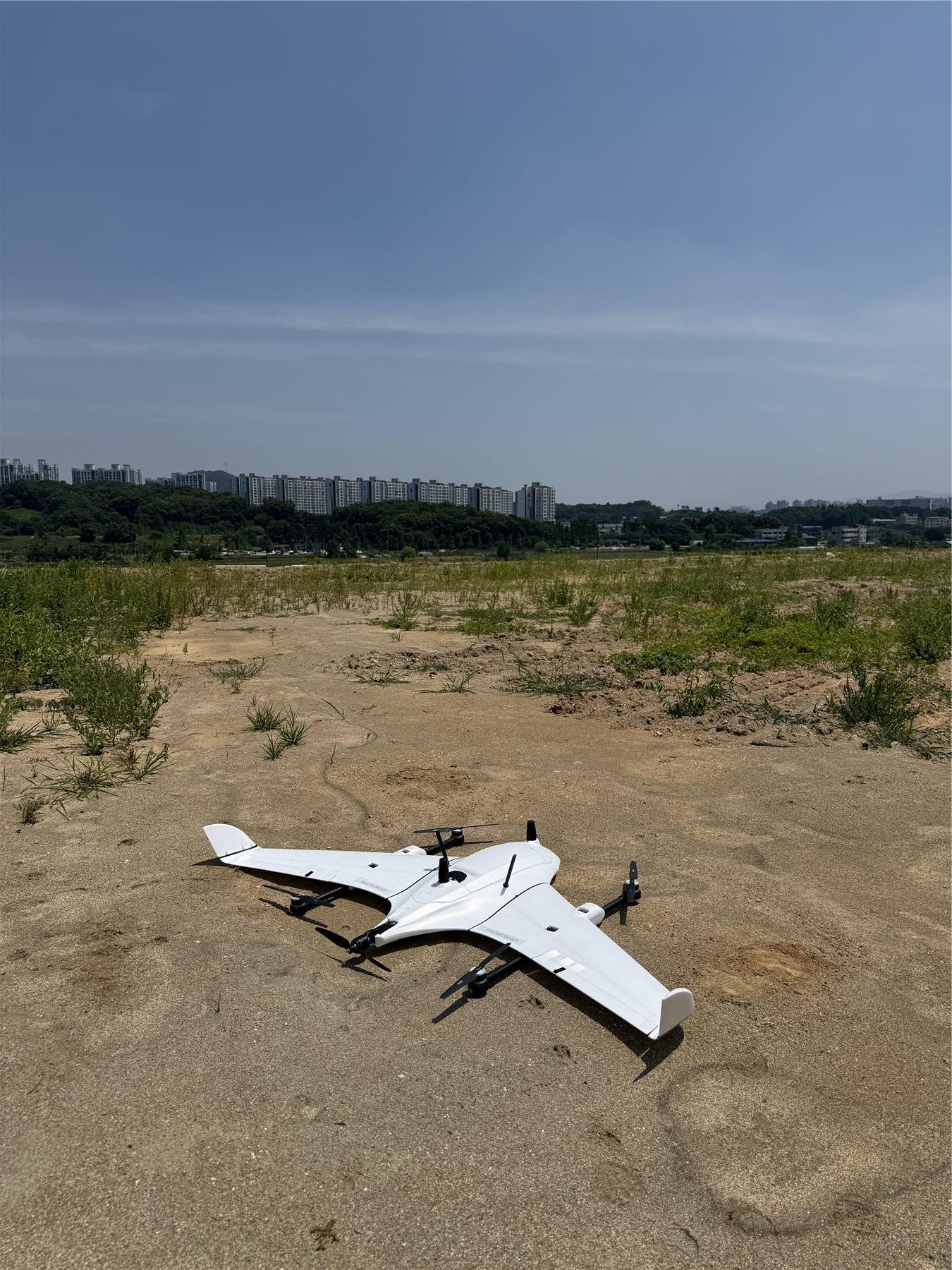 THIRDEYE V2 / VTOL
A VTOL fixed-wing UAV platform developed in-house by AERO INSIGHT for large-area spatial data acquisition.
It combines the field flexibility of vertical takeoff and landing with fixed-wing area coverage to support efficient spatial data production.
Mission planning, aerial capture, GNSS, field operations and data processing are connected as one system in real project environments.
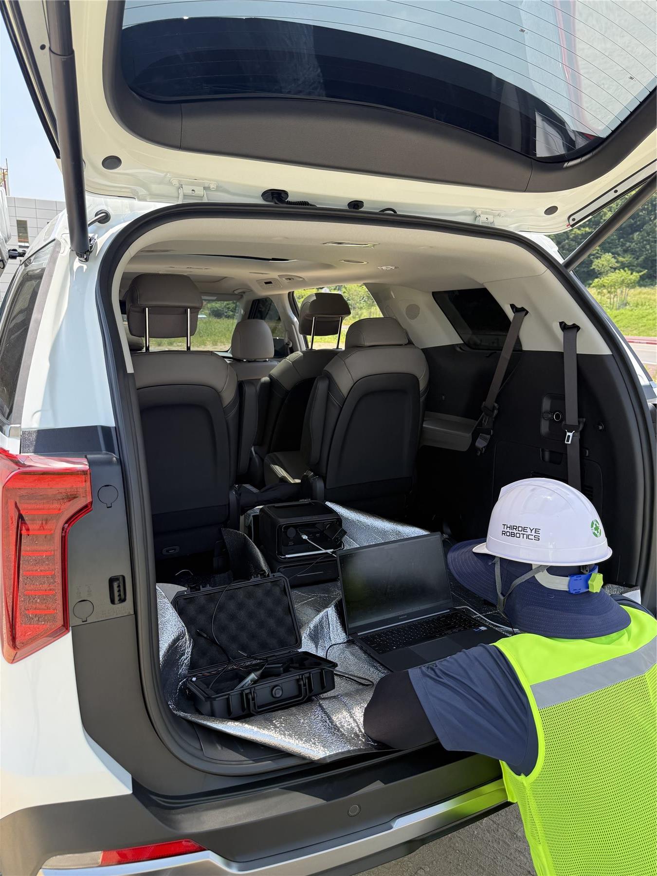
Spatial data acquisition and processing services are available today.
Data viewers, time-series management and change analysis are areas we are expanding.
Today's data projects build
tomorrow's data assets.
Drawing on our data production experience, we are developing services that make historical and current spatial records easier to view and use.
Industrial sites, cities, infrastructure and the environment.
We build real-world spatial datasets suited to each site's objectives.
INDUSTRIAL COMPLEX
Record site conditions and facilities and manage their change history.
CITY & MUNICIPALITY
Support repeated data production for urban areas and public facilities.
INFRASTRUCTURE
Turn facilities and infrastructure into measurable spatial datasets.
ENVIRONMENT & FOREST
Produce high-resolution data for managing forest and environmental change.
Tell us the target area, required deliverables and project schedule.
We'll discuss an approach to spatial data production suited to your needs.
Suite 1510, Building A, GL Metro City Hangang, 10 Cheongcho-ro, Deogyang-gu, Goyang-si, Gyeonggi-do, Republic of Korea
Back to AERO INSIGHT home